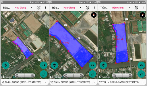
- Determine the users current location on the map.- Using coordinates of Longitude, Latitude and coordinates VN2000.- With map zoom function, rotate the map to the North-South axis.- Find and mark locations by name.- Support electronic compass function (for devices with magnetic sensors)- Support the function of adjusting parameters of coordinates in VN 2000 system; selection of axial meridians by province.- Save, display points, area, survey route according to Subject, Project.- The function of changing colors, hiding objects and points in the project.- Drawing point function, Polygon domain, save drawn domain.- View, edit, delete, find saved landmarks.- Support navigation function to saved objects.- Support to redraw the survey route over time.- Function to display map styles from mapbox.com and other personal styles.- Measure distance, calculate area directly on the map.- Export data in text format, support exporting .gpx (Google Earth) and .kml (Google Map) files.- Support sending and exchanging data files of saved points.- Support conversion tool between coordinate systems.- Maps based on mapbox.com dataApplication is completely free
 SMap - Công cụ trắc địa